

El Segundo, CA, covers just about five square miles along the coast, wedged directly between Los Angeles International Airport to the north and Manhattan Beach to the south. Because of its self-contained layout and specific city limits, the town experiences minimal pass-through traffic compared to other coastal hubs. Finding a home here is easier when you work with the best real estate agent in El Segundo, CA.
Residents who work locally or in neighboring beach cities often find their daily drive quite manageable. However, professionals commuting to downtown Los Angeles or relying on regional transit need to understand the local highway access and recent public transportation updates.
Local Geography and Street Layout
The city's grid is distinct from the expansive layouts found further inland, largely because the western edge is bounded by the Pacific Ocean and the northern edge by LAX. This geography funnels most regional traffic onto a few main arteries on the eastern and southern borders.
Pacific Coast Highway (PCH), also known locally as Sepulveda Boulevard, runs straight through the eastern side of town. This provides a direct north-south route for drivers heading toward neighboring South Bay communities like Hermosa Beach.
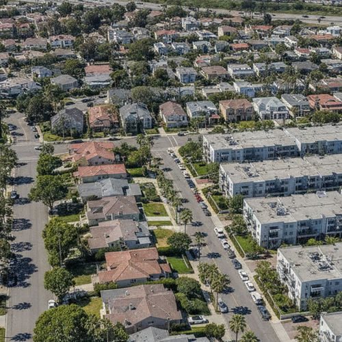
Main Street serves as the primary commercial corridor, running north to south through the center of the residential district. The streets branching off Main are largely residential, lined with single-family homes and smaller condominium complexes.
Commercial and industrial zones are concentrated on the eastern side of PCH, near the aviation and defense corporate campuses. This separation keeps heavy commuter traffic out of the residential neighborhoods during morning and evening rush hours.
Highway Access and Drive Times
Drivers leaving El Segundo rely primarily on Interstate 105 and Interstate 405 to reach the rest of Los Angeles County. The I-105 runs east-west just north of the city, while the I-405 sits a few miles east, offering a major north-south corridor.
Reaching downtown Los Angeles takes about 20 to 35 minutes in light mid-day traffic. During the morning and evening rush hours, that same trip can stretch up to 85 minutes as congestion builds on the I-110 interchange.
Commuters heading to the tech hubs in Silicon Beach face a shorter geographical distance but still encounter heavy volume on PCH and Lincoln Boulevard. A typical drive to Playa Vista or Venice takes 15 to 30 minutes, depending on the time of day.
Buyers evaluating different neighborhoods should test these routes during their actual commuting hours. A home on the far west side near the beach adds about five to ten minutes of local street driving before reaching the highway on-ramps.
Rail Lines and Bus Routes
The Los Angeles Metro system underwent a significant network restructuring in November 2024, altering how residents access regional rail. The K Line now directly serves the El Segundo, Mariposa, and Douglas stations.
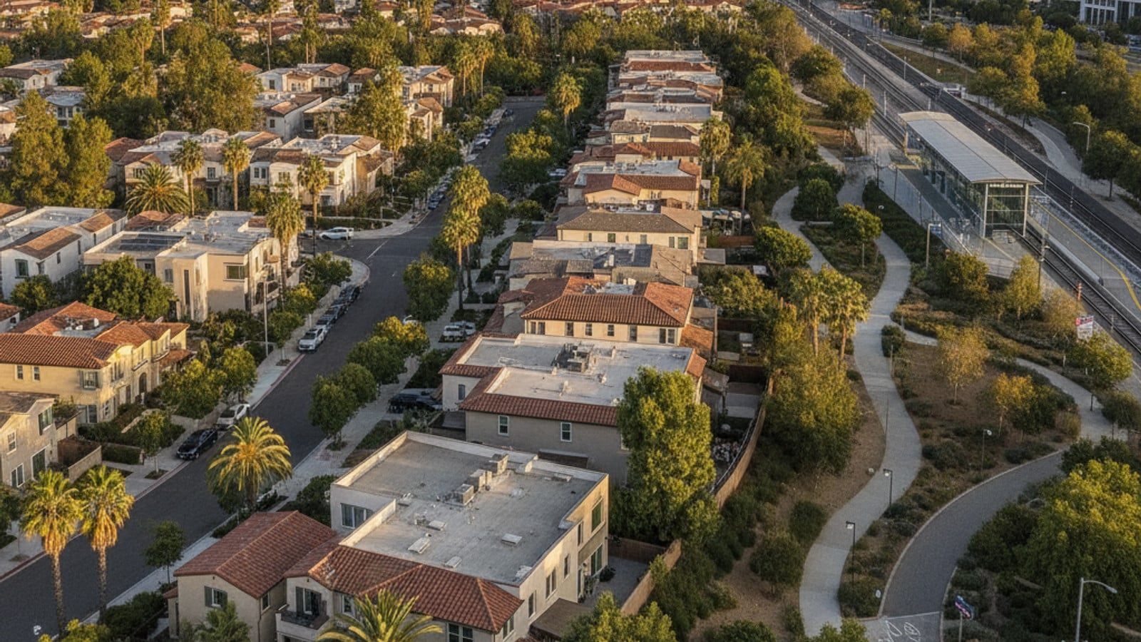
These K Line stations sit along the eastern edge of the city, providing a rail connection toward the Crenshaw district and intersecting with the broader Metro network. Passengers can transfer to the C Line (formerly the Green Line) to travel east toward Norwalk or connect to the A Line for trips into downtown Los Angeles.
Bus service fills in the gaps for routes that the rail network does not cover. The LADOT Commuter Express Route 438 offers a direct ride to the Financial District in downtown Los Angeles, typically taking 45 to 55 minutes.
For local trips within the South Bay, Beach Cities Transit operates Line 109. This route connects El Segundo to Manhattan Beach, Hermosa Beach, and Redondo Beach, offering an alternative to driving down PCH.
Walkability and Local Transit Services
The downtown Main Street corridor features a high concentration of restaurants, cafes, and local shops within a few blocks. Residents living in the central and western neighborhoods frequently walk or bike to these commercial areas and nearby Recreation Park.
For residents who prefer not to drive, the city offers specialized local transit options. The local Dial-A-Ride program provides point-to-point transportation within the city limits and to specific medical facilities nearby.
Dial-A-Ride is free for residents ages 55 and older or those with disabilities, offering up to 40 rides a month. Riders coordinate their trips through the Joslyn Center, making it easier to reach grocery stores, community events, or local appointments.
Rideshare services like Uber and Lyft maintain a strong presence here, largely due to the constant demand generated by the nearby airport. Metro Micro, a localized on-demand ride service, also operates in the area, allowing users to book short trips via a mobile app.
Housing Near Transit Hubs
Real estate activity in El Segundo, CA, moves quickly, with homes spending an average of just 8 days on the market as of mid-2026. The median sale price sits at roughly $1,307,500, and available inventory remains tight with around 36 active listings.
Single-family detached homes make up the bulk of the residential neighborhoods west of PCH. Buyers targeting these properties often prioritize proximity to the beach or the walkable Main Street district over immediate highway access.
Condominiums and townhomes are more common near the eastern commercial districts and the K Line stations. Purchasing near these transit hubs allows residents to reduce their dependence on a personal vehicle for daily commuting.
Competition for these homes is intense, with the average property selling for about 7% over the listing price. Buyers should secure their financing early and be prepared to submit strong offers, especially for properties within walking distance of the Metro stations or the downtown corridor.
Frequently Asked Questions
How far is El Segundo from the airport?
El Segundo shares its northern border with Los Angeles International Airport (LAX). Depending on your exact location in town, driving to the passenger terminals takes roughly 10 to 15 minutes. The new LAX Automated People Mover, scheduled to begin passenger service in late 2026, will further streamline this connection.
Is El Segundo walkable and does it have a downtown area?
The city features a walkable downtown district centered along Main Street. This corridor spans several blocks and includes local retail, dining, and municipal buildings. Residents in the adjacent residential grid can easily reach these amenities on foot or by bicycle.
Is LA Metro transit free in El Segundo?
Standard, LA Metro bus and rail services require a paid fare, typically handled via a TAP card. However, the city does offer a free local Dial-A-Ride service for residents who are 55 and older or who have qualifying disabilities.
Does Amtrak serve El Segundo?
Amtrak does not operate any stations within the city limits. Residents looking for regional Amtrak service typically drive or take the Metro to Union Station in downtown Los Angeles. From there, passengers can access the Pacific Surfliner and long-distance routes.
What is the average commute time from El Segundo to downtown Los Angeles via the major highways?
Driving to downtown Los Angeles via the I-105 and I-110 takes about 20 to 35 minutes during off-peak hours. During the morning and evening rush hours, heavy traffic can push that travel time up to 85 minutes.
Does buying a house near the El Segundo Metro stations affect property values?
Properties located near the K Line stations on the eastern side of town tend to attract buyers who prioritize easy transit access. While the median home price citywide is around $1,307,500, specific values near the stations vary based on property type. This area features more condominiums and townhomes than the western neighborhoods, which influences the average price per square foot.
Check out this article next