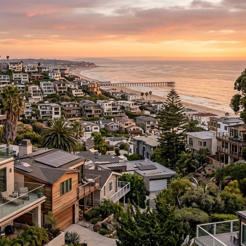


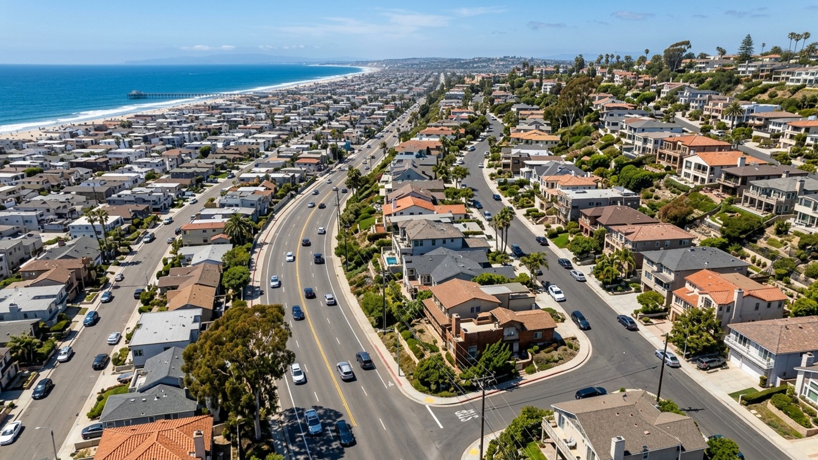
Hermosa Beach is a tightly packed coastal city - just 15 blocks from east to west and 40 blocks from north to south. It's a small footprint, but buyers looking for the best neighborhoods in Hermosa Beach still face a meaningful geographic choice: west of Pacific Coast Highway or east of it. The market doesn't give you much time to think it over, either. Available homes spend roughly 23 days on the market before going under contract.
The citywide median sale price sits at approximately $2,648,000, and buyers regularly pay slightly above asking. With only about 59 available homes in recent months, knowing exactly where you want to be - and why - before you start touring saves a lot of wasted weekends. The west-versus-east decision really comes down to three things: budget, property type, and how you get to work.
Defining the Boundaries of West and East Hermosa
The dividing line is Pacific Coast Highway - PCH, or State Route 1 - running straight down the middle of the city. Everything west of it falls under the Sand Section and Hermosa Valley. Everything east is its own distinct neighborhood, bounded by PCH on the west, Prospect Avenue on the east, Artesia Boulevard to the north, and Anita Street to the south. That eastern section sits on hillier terrain, which gives it a noticeably different feel from the flat, beach-adjacent streets on the other side of the highway.
School District and City Services
Both sides of PCH feed into the Hermosa Beach City School District for K-8. The district runs three campuses: Hermosa View for Pre-K through first grade, Hermosa Vista for second through fourth grade, and Hermosa Valley for fifth through eighth grade. When kids age out of the district, they head to either Redondo Union or Mira Costa High School - same destination regardless of which side of the highway they grew up on.
Real Estate Market and Home Prices
The overall market carries a 3.6-month supply of inventory and an average sale-to-list ratio of 101.1%. That last number tells you most of what you need to know: expect competition, and expect to pay for it.
Where you land on price depends on which side of PCH you're targeting. The northwest area - the Sand Section - runs a median list price around $3,240,000. Cross the highway and that number comes down to a median closer to $2,536,000 in the eastern hill neighborhoods. Still a premium market by any California standard, but a real difference if you're working within a specific budget.
Property Types and Age
The housing stock on both sides shares a similar timeline. The bulk of established single-family homes in both Hermosa Beach Northwest and Hermosa Beach East went up between 1940 and 1969. The western side also carries a notable concentration of properties built between 1970 and 1999. Throughout the city you'll find single-family houses, townhomes, and condos - the mix just shifts slightly depending on the block.
Local Amenities and Daily Lifestyle
West of PCH, the Strand is the organizing principle of daily life. It's a paved beachfront path running directly in front of homes along the Marvin Braude Bike Trail - meaning cyclists and pedestrians are right there, right on the sand. The Hermosa Beach Pier and Pier Plaza anchor the social side of the neighborhood.
The eastern side has its own outdoor infrastructure, and it's more than just a consolation prize. Hermosa Valley Park serves the neighborhoods near the eastern border, and the Green Belt - a 3.7-mile landscaped trail running parallel between Ardmore and Valley Drive - gives walkers and joggers an unpaved alternative to the beachfront scene. It's a quieter setup, and for a lot of buyers, that's the point.
Shopping and Dining Access
Downtown Hermosa, centered along Pier Avenue and Pier Plaza roughly from 6th Street to 16th Street, is where most of the city's boutique shops and local restaurants are concentrated - squarely serving the western neighborhoods.
East of the highway, Artesia Boulevard does the heavy lifting for retail. It starts at PCH in Hermosa Beach and runs directly toward the South Bay Galleria, which handles the larger shopping needs for the broader inland area.
Commute Times and Transportation
Your daily drive looks different depending on which side you're on. From the western neighborhoods, Hermosa Avenue and PCH are your main north-south corridors. Getting to the highway from the water takes just a few minutes - though summer beach traffic is a real factor on the coastal streets.
The eastern side has a straightforward advantage here. Artesia Boulevard connects directly to Interstate 405 and other regional highways, which is a meaningful convenience if you're commuting regularly into Los Angeles or Orange County. PCH runs right along the western edge of the neighborhood, giving you a clean shot north to Manhattan Beach or south to Redondo Beach.
Public Transit Options
Beach Cities Transit (BCT), headquartered in neighboring Redondo Beach, is the primary local transit authority. BCT Line 109 connects Pier Avenue to Riviera Village, Downtown Manhattan Beach, El Segundo, and LAX-area Metro stations. Torrance Transit Line 13 runs along PCH between the Redondo Beach Pier and the Artesia A (Blue) Line Station. For longer hauls, the LADOT Commuter Express Line 438 runs through the city as well.
Frequently Asked Questions
What is the exact dividing line between West and East Hermosa Beach, CA?
Pacific Coast Highway - State Route 1 - is the dividing line. The western neighborhoods sit between PCH and the Pacific Ocean. The eastern neighborhoods are bordered by PCH on the west and Prospect Avenue on the east.
How much of a price difference is there between buying a home in West versus East Hermosa Beach?
The western Sand Section carries a median list price around $3,240,000. The eastern hill neighborhoods come in closer to $2,536,000 - a meaningful gap, even if both numbers land well above the California median.
What are the main lifestyle and walkability differences between living West or East of PCH?
The western side is built around the Strand, the Marvin Braude Bike Trail, and the commercial energy of Pier Plaza. The eastern side trades that for a greener, more inland environment centered on Hermosa Valley Park and the 3.7-mile Green Belt trail between Ardmore and Valley Drive.
Check out this article next